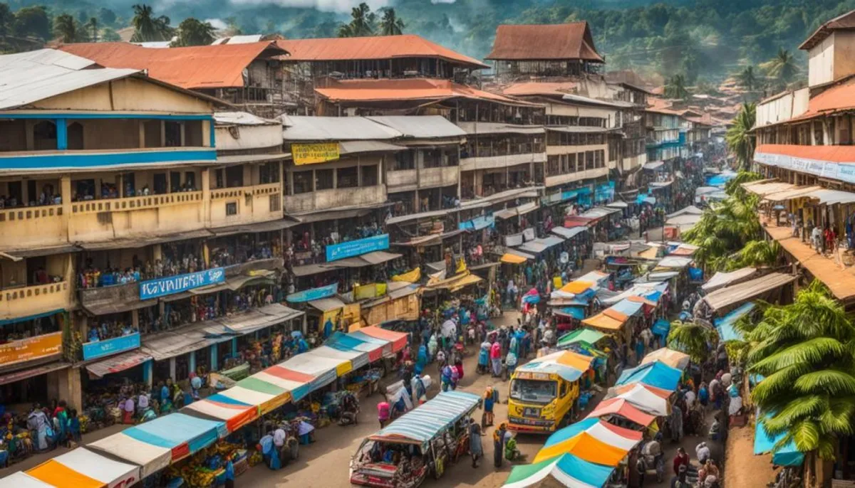
In 1998, the General Population and Housing Census recorded 688,235 inhabitants in Yopougon. Today, this population has grown to reach 1,071,543 in 2014. Thus, Yopougon is the most populous municipality in Côte d'Ivoire. It surpasses Abobo, also in Abidjan, with its 1,030,658 residents.
The territory of Yopougon covers a large area of 153.06 km². It is organized into eight districts and divided into 32 neighborhoods. Taking a significant share, it represents almost a quarter of the people living in the Autonomous District of Abidjan.
Main Key Points to Remember
- The sub-prefecture of Yopougon is the intermediate administrative entity to which the municipality of Yopougon is attached.
- The municipality of Yopougon is one of the 13 municipalities in the Autonomous District of Abidjan.
- With 1,071,543 inhabitants in 2014, Yopougon is the most populated municipality in Abidjan and Côte d'Ivoire.
- Yopougon spans 153.06 km² and has 8 districts and 32 neighborhoods.
- The population of Yopougon represents nearly 23% of the total population of the Autonomous District of Abidjan.
Introduction to Yopougon
Yopougon is located in Greater Abidjan, in the Autonomous District of Abidjan. It is a large municipality covering 153.06 km² in the west of the district. It is bordered by municipalities such as Abobo and Anyama to the north. The Ébrié lagoon separates it from the south, then to the east, there is Attécoubé, and to the west, Songon.
Demographic Importance of Yopougon
Yopougon sets records with its population. It is the most densely populated municipality in Côte d'Ivoire. According to figures from 2021, it has 1,571,065 inhabitants, with a density of 9,568 inhabitants per km². In 1998, it had 688,235 inhabitants. Then in 2014, this figure rose to 1,071,543. Thus, it is the largest municipality in Abidjan and the country.
Administrative Division of Côte d'Ivoire
Between 2011 and 2014, Côte d'Ivoire reorganized its administrative division. Now, there are two autonomous districts and twelve districts. These are divided into thirty-one regions.
Each region is then divided into departments. In total, there are one hundred eight departments. Then, there are 509 sub-prefectures, followed by 8,000 villages and 201 municipalities, which requires an effective administrative organization.
| Administrative Divisions | Number |
|---|---|
| Regions | 31 |
| Departments | 108 |
| Sub-prefectures | 509 |
| Villages | 8,000 |
| Municipalities | 201 |
This new organization helps to better manage the Ivorian territory. This is done at different levels, from the region to the village.
Territorial Administration of the Autonomous District of Abidjan
The Autonomous District of Abidjan covers 2,119 km². It hosts a population of 6,321,017 inhabitants in 2021. This district is divided into 13 different municipalities.
The Municipalities of Abidjan
In the Abidjan District, there are 13 municipalities. Each of these municipalities is very important for the organization and progress of the region. The names of the municipalities are Abobo, Adjamé, Attécoubé, Cocody, Koumassi, Marcory, Port-Bouët, Plateau, Treichville, Yopougon, Anyama, Bingerville, and Songon.
Role of the Sub-Prefectures
The District also includes four sub-prefectures. They are Anyama, Bingerville, Brofodoume, and Songon. These sub-prefectures are in the midst of the municipalities and the regional district, where a notification service can be set up to improve communication.
The Sub-Prefecture of Yopougon
The sub-prefecture of Yopougon manages the municipality of Yopougon. It is between the local level of Yopougon and the regional level of Abidjan. This place is crucial for organizing actions and implementing local policies.
In the Autonomous District of Abidjan, it is among the 13 districts. Yopougon has many people, nearly 1.6 million in 2021.
It has 8 districts and 32 neighborhoods, showing its diversity. Yopougon plays a key role in the economy thanks to its industrial zones.

| Indicator | Value |
|---|---|
| Area | 153.06 km² |
| Population (2021) | 1,571,065 inhabitants |
| Population Density | 9,568 inh/km² |
| Number of Districts | 8 |
| Number of Neighborhoods | 32 |
History and Meaning of the Name “Yopougon”
Yopougon comes from the name of a generous patriarch. He helped develop the region by giving his land. This land was in front of the modern UNIWAX factory.
The inhabitants, at the time called “Bidjan,” thanked him by taking his name. For them, “Yopou gonnin” meant “the inhabitants of the fields of Yopou.”
Thus, “Yopougon” means “the fields of Yopou.” This name shows how generosity can foster the progress of a community. Today, this area is the most populated in Côte d'Ivoire.
What is the Sub-Prefecture of Yopougon?
The sub-prefecture of Yopougon is an important administrative area. It manages the municipality of Yopougon, one of the 13 municipalities in the Autonomous District of Abidjan.
It plays a key role in local management. Thus, it organizes the planning and development of the region.
Yopougon is very populated. In 2014, it had 1,071,543 inhabitants. This makes it the most populated municipality in the Autonomous District of Abidjan.
It is located to the west of the economic capital of Côte d'Ivoire. Its area is 164.2 km². Yopougon includes 14 villages, 8 districts, and 32 neighborhoods.
The sub-prefecture of Yopougon is crucial for the administration of this large municipality. It coordinates public services and manages local projects.
Districts and Neighborhoods of Yopougon
Yopougon is the most populated area of Côte d'Ivoire. It is divided into 8 districts which are further divided into 32 neighborhoods. This division helps to better manage the development of the municipality.
The 8 Districts
The 8 districts of Yopougon include:
- Yopougon-Attié
- Banco Nord
- Banco Sud
- Kouté
- Industrial Zone
- Hospital
- Niangon Nord
- Niangon Sud
The 32 Neighborhoods
Each district is characterized by several neighborhoods, totaling 32. This arrangement allows for finer management, tailored to local needs, and illustrates the importance of decentralization in Cameroon.
Detailed Demographics of Yopougon
Population and Density
In 2021, Yopougon had 1,571,065 inhabitants, making it the most populated municipality in Abidjan and Côte d'Ivoire. It is a very dense area, with 9,568 people per square kilometer.
Ethnic Composition
Most of the inhabitants of Yopougon are Ivorians. Only 8.8% come from other countries. This percentage is lower than in the rest of Abidjan (22.4%).
This can be explained by the history of Yopougon. For a long time, it has been seen as an area for local inhabitants.

Economy and Activities of Yopougon
Yopougon is important for the economy of Abidjan. It has two large industrial zones. They host factories from various sectors such as cement and dairy products.
The Industrial Zones
In Yopougon, there is the Nestlé research center. The Cémoi chocolate factory is also located there. This demonstrates the importance of Yopougon in the local and national economy.
Shops and Markets
The city has many shops and bustling markets. This makes it a key place for trade in the Abidjan region.
Landmarks of Yopougon
Yopougon is the largest municipality in Abidjan. It is rich in important places. For example, there is the Institut Pasteur de Côte d'Ivoire, a renowned medical research center. Then, the headquarters of the National Center for Agronomic Research (CNRA) is crucial for the country's agriculture.
The municipality also has the Swiss Center for Scientific Research. It is a key place for global innovation and cooperation. Yopougon also houses a University Hospital Center, an Institute for the Blind, and the Abidjan Correctional Facility (MACA). These places show its variety of activities.
There are also important sites in Yopougon such as the Azito power plant. This plant provides a lot of electricity to the Autonomous District of Abidjan. The Boulay Island, a natural site in the middle of the Ébrié lagoon, is another place to discover.
Transport and Road Infrastructures
Yopougon, an important municipality, is crossed by essential roads such as the North Highway. This road goes from Dabou to San Pédro and up to the border of Liberia. More than 6 million people live in Greater Abidjan. This makes the challenges for transport and roads very significant.
80% of the cars in Côte d'Ivoire are in Abidjan. Families spend an average of 3 hours a day commuting. Traffic jams cost over 120 billion CFA francs due to delays, which is 5% of the country's GDP.
To address these issues, a metro is set to open in Abidjan in 2026. A Bus Rapid Transit (BRT) system will also be implemented, along with more buses. A study analyzed the movements of over 100,000 people and 3 million location data points. This helped identify the most congested areas, especially on highways, boulevards, and bridges, mainly in Cocody and Yopougon, as well as the varied landscapes of the city.
Conclusion
Yopougon is the largest and most populated district in Côte d'Ivoire. It has 1.5 million inhabitants. It is a key area for the economy.
The municipality has a large area of 153.06 km². This represents nearly 25% of the population of the large city. Yopougon is crucial for the economy of Côte d'Ivoire.
Yopougon shines due to its industrial zones. They are important for production in Côte d'Ivoire. This helps the economic progress of the country.
FAQ
What is the sub-prefecture of Yopougon in the Greater Abidjan region?
Yopougon falls under the sub-prefecture of Yopougon. This sub-prefecture manages a part of the region. It is a link between the municipality and the regional authority of Abidjan.
Where is the municipality of Yopougon geographically located?
Yopougon covers 153.06 km². It is located to the west of the Abidjan district. To the north, it is close to Abobo and Anyama. The Ébrié lagoon is to the south. To the east is Attécoubé and to the west, Songon.
What is the demographic importance of Yopougon?
With 1,571,065 people in 2021, Yopougon is very populated. It is the most populous city in Abidjan and the entire country. Its population density is 7,003 people per km².
How is the territorial division of Côte d'Ivoire organized administratively?
Since 2011, Côte d'Ivoire has two autonomous districts and twelve other districts. These contain 31 regions, which in turn share 108 departments. These departments have 509 sub-prefectures and 8,000 villages with a total of 201 municipalities.
What are the municipalities that make up the Autonomous District of Abidjan?
Abidjan Autonomous has 13 municipalities, including Yopougon. Others include Abobo, Adjamé, Attécoubé, and more. This list includes Bingerville and Songon.
What is the role of the sub-prefectures in the administrative organization?
The sub-prefectures are between the municipalities and regional levels. They help manage local affairs, in coordination with territorial administration. Each municipality is linked to a sub-prefecture, such as Yopougon with its own.
What is the origin of the name “Yopougon”?
“Yopougon” comes from “fields of Yopou.” It is a place where a chief gave land. This chief was named Yopou. The local people were happy with his gift. In their language, Ebrié, “Yopou gonnin” means “the people of Yopou.”
How many districts does the municipality of Yopougon have?
Yopougon has 8 districts. Each has its own identity, such as Yopougon-Attié and Niangon Nord.
What is the detailed demographic composition of Yopougon?
In 2021, Yopougon housed 1,571,065 inhabitants. It is the most populated city in Côte d'Ivoire and Abidjan. This equates to a density of 7,003 people per km².
What are the main economic activities of Yopougon?
The economy of Yopougon is strong. It has cement, plastic, and other factories. Nestlé conducts research there. The Cémoi chocolate factory is also present.
What are the iconic places in Yopougon?
Yopougon has important places. Such as the Pasteur Institute, the CNRA, and the University Hospital Center. Boulay Island, the MACA prison, and the Azito power plant are also there.
What are the main road infrastructures crossing Yopougon?
Main roads pass through Yopougon. The North Highway and the Dabou road are examples. These roads connect the city to others like San Pédro, to Liberia.
RelatedRelated articles


